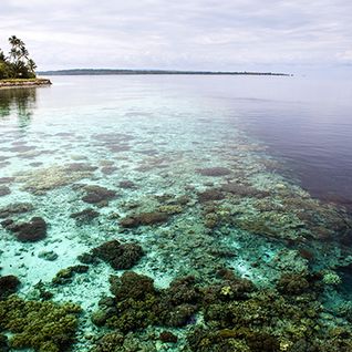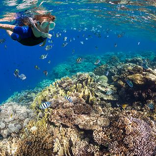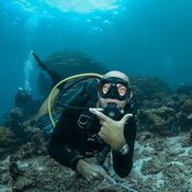
Sandwiched between Indonesia and Timor-Leste to the north and Australia to the south, the Timor Sea is a relatively shallow and small tropical body of water. With the Indian Ocean to its west and the Arafura Sea to the east, it covers 240,000 square miles and contains very few islands. This cobalt blue watery expanse may be on the small side, but it plays a vital role in the region's climate, is geologically significant and is of great interest to naturalists. The sea even saw some action during World War II… So let's dive a little deeper and see what fascinating facts about the Timor Sea we can uncover on the way.
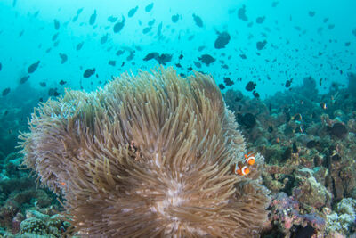
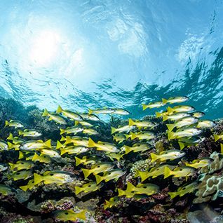
1. Part of the Timor Sea, known as Wallacea, is of great interest to naturalists
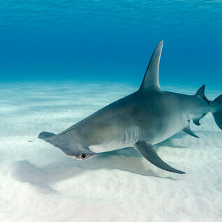
Wallacea is an area that contains the islands of Sulawesi, the largest island in the group, as well as Lombok, Sumbawa, Flores, Komodo and Timor (among others), and is of particular interest to naturalists concerned with biogeography: the study of the distribution of species. This group of islands represents an intermediary zone between Asia and Australasia, with the Asian side sitting on the Sunda continental shelf and the Australasian side on the Sahul continental shelf.
Running through Wallacea are three imaginary lines: the Wallace Line, the Weber Line and the Lydekker Line. These three lines were proposed by different naturalists and represent a general boundary between species from the two different continents. The Weber and Lydekker Lines both pass through the Timor Sea, while Wallace's proposed line takes a slightly different route up through the Bali Sea and between Borneo and Sulawesi.
2. The Timor Sea helps control the climate and temperatures in the region
The Timor Sea, Savu Sea and the Bali Sea are three of the main players in shifting warm water from the Pacific Ocean into the cooler Indian Ocean, known as the Indonesian Throughflow. The Pacific currents flow into the Philippine Sea, down through the Makassar Strait (between Borneo and Sulawesi) and the Lifamatola Strait (on the other side of Sulawesi) and down through the three seas we mentioned earlier (Timor, Savu and Bali) into the Indian Ocean. This movement of warm water to cooler zones helps regulate the area's temperatures.
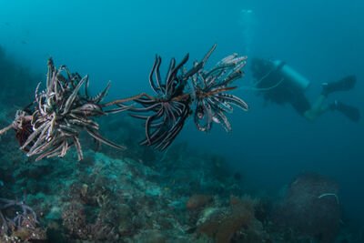
3. The sea is home to an oceanic trench called the Timor Trough
Although the Timor Sea is relatively shallow, it does reach impressive depths in places. The sea's average depth is around the 400-metre mark, but it maxes out at 3,300 metres. This depth is in an oceanic trench known as the Timor Trough. The trough is a continuation of the Sunda Trench, which separates the Indo-Australian and Timor tectonic plates. The trench runs just south of the island of Timor and, as in other areas where tectonic plates meet, means the area is prone to earthquakes from time to time.
4. There is a 30-mile wide asteroid crater on the seabed
There are a number of submerged banks in the area between the Timor Trough and the continental shelf, an area known as 'Big Bank Shoals'. As this area is of interest to geologists, especially those working in the petroleum industry, the seabed has been surveyed, and in 2010 a large crater was discovered. The crater is around 30 miles wide and is believed to have been caused by an asteroid striking Earth. Judging by the measurements of the crater, geologists estimate the asteroid would have been between three and six miles wide.
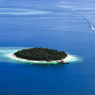
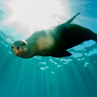
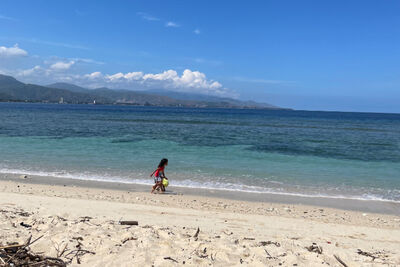
5. The Timor Sea is sparsely populated
The Timor Sea is largely devoid of islands. There are a couple of uninhabited Australian islands (Ashmore and Cartier Islands) at its western extent and the Tiwi Islands just north of Darwin, which are home to a couple of thousand people. Around the Timor Sea's perimeter, there are also very few large cities.
The island of Timor has a total population of around three million people. Timor Island's two biggest cities are Dili and Kupang, with Dili located on the island's north coast, and Kupang a little bit north of the Timor Sea, in a bay at its western end. In Australia, Darwin is the biggest city in the Timor Sea region, which is the state capital of the Northern Territory but is also the smallest of all Australia's state capitals.
6. A World War II wreck, USS Peary, lies at the bottom of the Timor Sea
The World Wars were so-called for good reason. The extent of the fighting went way beyond Europe, and even the Timor Sea saw some action. The USS Peary was a US Navy destroyer which spent some time in the Philippines and in the Timor Sea during World War II. During its time in the Philippines, it came under attack from the Japanese on a few occasions but managed to live to tell the tale.
However, she finally came unstuck in 1942, when she was stationed in Darwin, conducting anti-submarine patrols in the Timor Sea and transporting reinforcements and supplies to the Allied forces in Dutch Timor. On the 19th of February, while in Darwin Harbour, the vessel was attacked by Japanese dive bombers. As a result of this attack, she now rests in around 30 metres of water at the bottom of Darwin Harbour.